
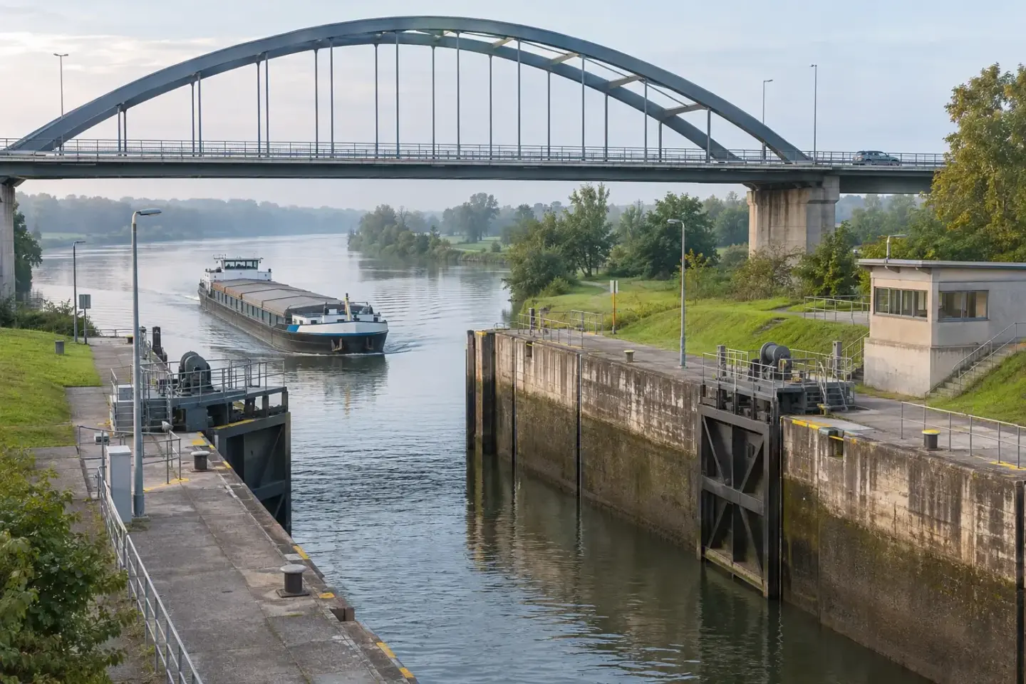
The Rhine–Main–Danube axis is an unusually clear example of the difference between geographic connection and a transport service. On a map, the waterway continues across Europe. In a planning discussion, that line becomes a sequence of rivers, canal reaches, structures, terminals and administrative arrangements.
viadonau’s fourth-edition Manual on Danube Navigation explains that the Main–Danube Canal opened in 1992, connecting the Rhine and Danube basins. Its account is a useful starting point for understanding the axis. It is a 2019 publication, so any parameter needed for a present voyage should be checked against the responsible current source. Read the navigation manual.
Divide the route into meaningful sections
Use the Rhine, Main, Main–Danube Canal and Danube as the first broad sections, then divide further where the controlling conditions change. A river section and a lock-controlled canal are not interchangeable. One may make water conditions central to a loading decision; another may make the dimensions and availability of a structure central.
The useful planning question is not “can a vessel cross Europe?” It is “can the proposed vessel, with this cargo and this timing, use every relevant section?” The narrowest operational margin deserves attention even if it occupies only a small part of the route.
Do not average away the constraint
An ample berth at the destination does not compensate for a restriction earlier in the passage. Nor does a favourable condition on most of the corridor erase a limiting bridge, lock or shallow section. Record controlling dimensions and restrictions section by section, with source and date, and ask the operator how they affect the proposed service.
Keep permanent infrastructure information separate from temporary notices. An older manual can explain why a structure matters; a current notice can explain why its use is restricted on a particular date. Combining the two without labels creates a misleading impression of precision.
Time belongs to handovers as well as sailing
For a long route, a single estimated transit duration hides too much. Ask which events start and stop the quoted clock. Does it begin when cargo is ready, when loading starts or when the vessel departs? Does it end at arrival, berthing or cargo release? A comparison becomes meaningful only when all options use the same events.
Add planned stops and the arrangements at both ends. A missed terminal window can matter more to the customer than a modest change in sailing time. For recurring flows, ask how changes are communicated and whether one party coordinates the full movement or several separate contracts have to be managed.
Check the administrative route
The Danube corridor crosses national jurisdictions, and the appropriate documentary checks depend on the actual itinerary and cargo. viadonau publishes a separate practical border-control manual alongside its navigation handbook. That separation is useful: physical passage and administrative readiness require different questions. Find the current handbook editions.
Use such a handbook to identify the responsible authorities and required checks, then verify current instructions with them. Do not assume that a past journey, another company’s route or a generic list of documents covers the present consignment.
A route proposal worth reviewing
A clear proposal can fit on a few pages: intended route and terminals; cargo description; operator-confirmed vessel assumptions; the sources used for restrictions; timing events; responsibility for documents; and contingency decisions. Attach detailed technical records where needed, but keep the key open questions visible.
Try one scenario before accepting the plan: a relevant section becomes temporarily unavailable. Identify who receives the notice, who reassesses the itinerary and what the customer must decide. If the answer is unclear, the weak point is coordination, not the map.
The value of the Main–Danube link is the connection it makes possible. The value of a good transport plan is explaining when and how a specific movement can use it. Our source directory and port-connection guide help turn that distinction into a practical review.